Navigation auf uzh.ch
Navigation auf uzh.ch
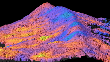
Productivity and stability of forest ecosystems strongly depend on the functional diversity of plant communities. Our researchers from the Remote Sensing Laboratories have developed a new method to measure and map functional diversity of forests at different scales – from individual trees to whole communities – using remote sensing by aircraft. Their work paves the way for future airborne and satellite missions to monitor global plant functional diversity. UZH News
Their findings were also presented in SRF Tagesschau, 13.11.2017, see below (in German):