Extracting mobility patterns from Call Detail Records

Estimating transport demand is one of the key information for city and transport planners. It is determined by origin, destination and time of the day that people move from place to place.
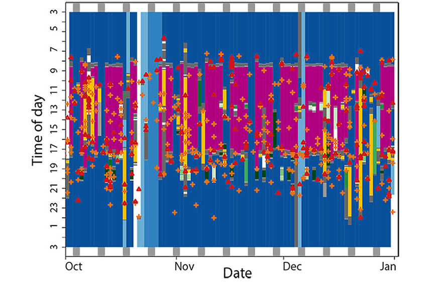
Traditionally assessed with travel surveys, GPS-sensors have become a feasible, but still expensive alternative to assess transport demand. A different solution is offered by Call Detail Records (CDR), which contain information about calls and text messages users send and receive, as well as about the telephone masts that received or transmitted them. The amount of CDR varies during the day depending on the mobile use. This typically means less data availability during the night, when the users sleep and higher availability in the morning and evening when many users are on the way to work and home, respectively. In this paper the authors used this information contained in CDR to provide temporal and spatial estimates of the location of participants that were also willing to share their true (GPS) position which allowed for an evaluation of the quality of the estimates. The authors demonstrate the potential of CDR for the spatio-temporal analysis and reconstruction of user movement patterns using different algorithms that could be applied to larger groups of people.
More news
- Earlier than expected
- Locked-in and living delta pathways in the Anthropocene
- Staying home for nightlife
- Directed Species Loss from Species-Rich Forests Strongly Decreases Productivity
- Daily Mobility for Healthy Aging
- Water Towers of the world ranked on vulnerability
- Himalayan lakes are exacerbating glacial melt
- Gaming for better data
- Poor communication torpedoes a second national park
- Black mystery in the Amazon River
- Find your way back with intelligent navigation systems
- The emotional entanglements of smartphones in the field
- From fires to oceans
- Ice on a stick in soil research
- Melting glaciers causing sea levels to rise at ever greater rates
- Do financial incentives motivate farmers to conserve land?
- How landscapes contribute to our well-being
- Ice-sheet growing from the base
- Charcoal: Major Missing Piece in the Global Carbon Cycle
- Mapping functional diversity of forests with remote sensing
- Unaccompanied minor asylum seekers - feelings of belonging in educational experiences
- The effect of anxiety and spatial abilities in route learning from maps
- Making Concessions at the Mining Frontier in Burkina Faso
- New method for analyzing tracking data enables better understanding of behavioral patterns of animals
- Who is responsible for negative effects of anthropogenic climate change?
- Glaciers in the Karakoram Mountains are in balance since the 1970s
- The mega-event syndrome
- Historically unprecedented global glacier decline in the early 21st century
- Variability and evolution of global land surface phenology
- A literature-based estimation of fire-derived organic matter in soils
- Neoliberal austerity and the marketisation of elderly care
- Institutional shopping for natural resource management in a protected area and indigenous territory in the Bolivian Amazon