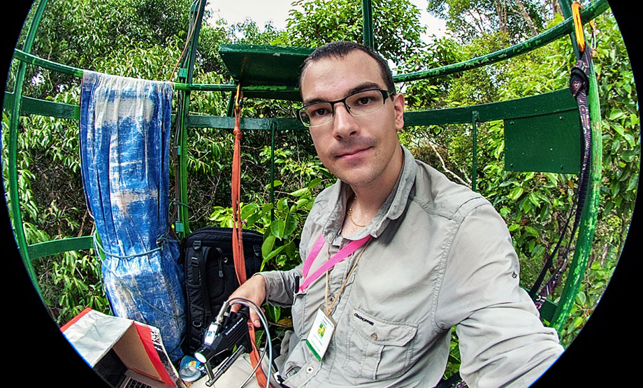
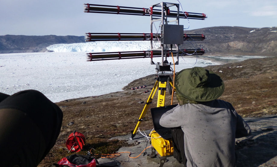
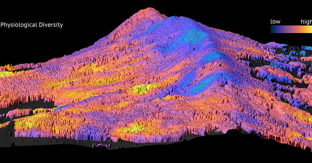
Improved understanding of earth surface dynamics and processes is central to both reconstructing past change and making future projections. Through our expertise in field measurements, laboratory experiments, remote sensing and numerical modelling we make significant contributions to understanding the cryosphere, hydrosphere, pedosphere and biosphere, and their interactions with one another - and how human societies impact them.
We develop essential indicators used in monitoring, for example glacier mass change and biodiversity, contribute to policy at multiple temporal and spatial scales, and are experts on earth surface processes in high mountain environments, and from the poles to the tropics.
Research groups active in this cluster ...
Biogeochemistry of Soils and Sediments – Guido Wiesenberg
Climate and Glacier Change in Communication – Andreas Linsbauer
Computational SAR – Elias Mendez Dominguez
Dynamics of Glaciers and Ice Sheets – Martin Lüthi
Earth Data Science – Hendrik Wulf
Earth Observation Application and Services – Claudia Röösli
Earth System Science – Maria J. Santos
Environment and Climate – Christian Huggel
Environmental SAR – David Small
Geomorphology and Permafrost – Isabelle Gärtner-Roer
Glacier Mapping and Monitoring from Space – Frank Paul
Glacier Monitoring from In-situ and Remotely Sensed Observations – Michael Zemp
Glaciology and Geomorphodynamics – Andreas Vieli
Hazards and Risks in Mountains – Holger Frey
Hillslope Hydrology – Ilja van Meerveld
Hydrological Extremes – Maria Staudinger
Hydrology and Climate – Jan Seibert
Landscape and Climate Change Genomics – Oliver Michele Selmoni
Mountain Hydrology – Daniel Viviroli
Plant Ecology and Global Change – Sofia van Moorsel
4D Remote Sensing of Forests – Felix Morsdorf
Remote Sensing of Environmental Changes – Livia Piermattei
Remote Sensing of Water Systems – Alexander Damm
Soil Science and Biogeochemistry – Michael W.I. Schmidt
Spatial Genetics – Meredith Schuman
_web.jpg)
