New Publication
How does the design of landmarks on a mobile map influence wayfinding experts’ spatial learning during a real-world navigation task?
Cartography and Geographic Information Science
Armand Kapaj , Sara Lanini-Maggi , Christopher Hilton , Bingjie Cheng & Sara I. Fabrikant
Abstract
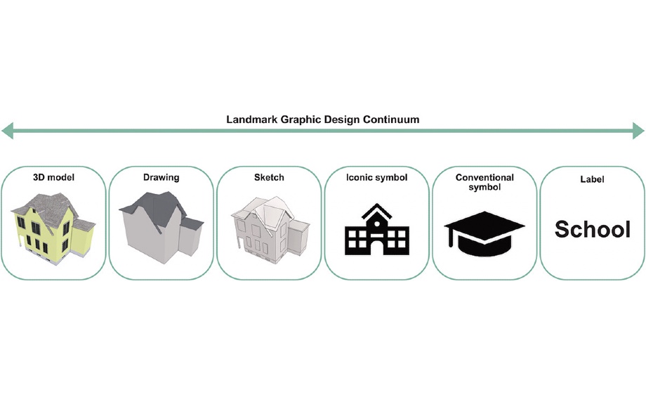
Humans increasingly rely on GPS-enabled mobile maps to navigate novel environments. However, this reliance can negatively affect spatial learning, which can be detrimental even for expert navigators such as search and rescue personnel. Landmark visualization has been shown to improve spatial learning in general populations by facilitating object identification between the map and the environment. How landmark visualization supports expert users’ spatial learning during map-assisted navigation is still an open research question. We thus conducted a real-world study with wayfinding experts in an unknown residential neighborhood. We aimed to assess how two different landmark visualization styles (abstract 2D vs. realistic 3D buildings) would affect experts’ spatial learning in a map-assisted navigation task during an emergency scenario. Using a between-subjects design, we asked Swiss military personnel to follow a given route using a mobile map, and to identify five task-relevant landmarks along the route. We recorded experts’ gaze behavior while navigating and examined their spatial learning after the navigation task. We found that experts’ spatial learning improved when they focused their visual attention on the environment, but the direction of attention between the map and the environment was not affected by the landmark visualization style. Further, there was no difference in spatial learning between the 2D and 3D groups. Contrary to previous research with general populations, this study suggests that the landmark visualization style does not enhance expert navigators’ navigation or spatial learning abilities, thus highlighting the need for population-specific mobile map design solutions.
https://doi.org/10.1080/15230406.2023.2183525