#60: Intense days on the field course to Val Piora
Field courses provide some of the most memorable moments in learning and teaching Geography and Earth System Science. The students always show great enthusiasm - sometimes even too much, when they attempt one more sample while daylight is already fading.
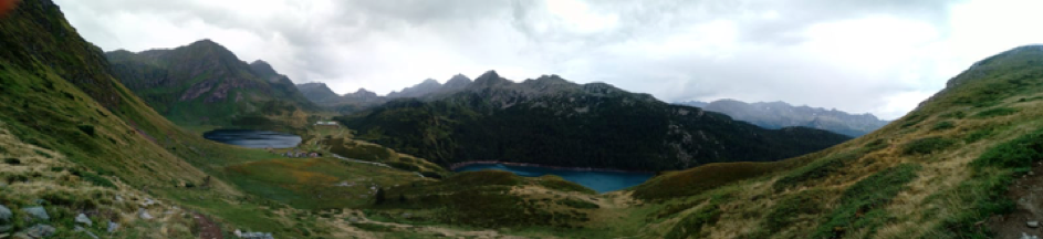
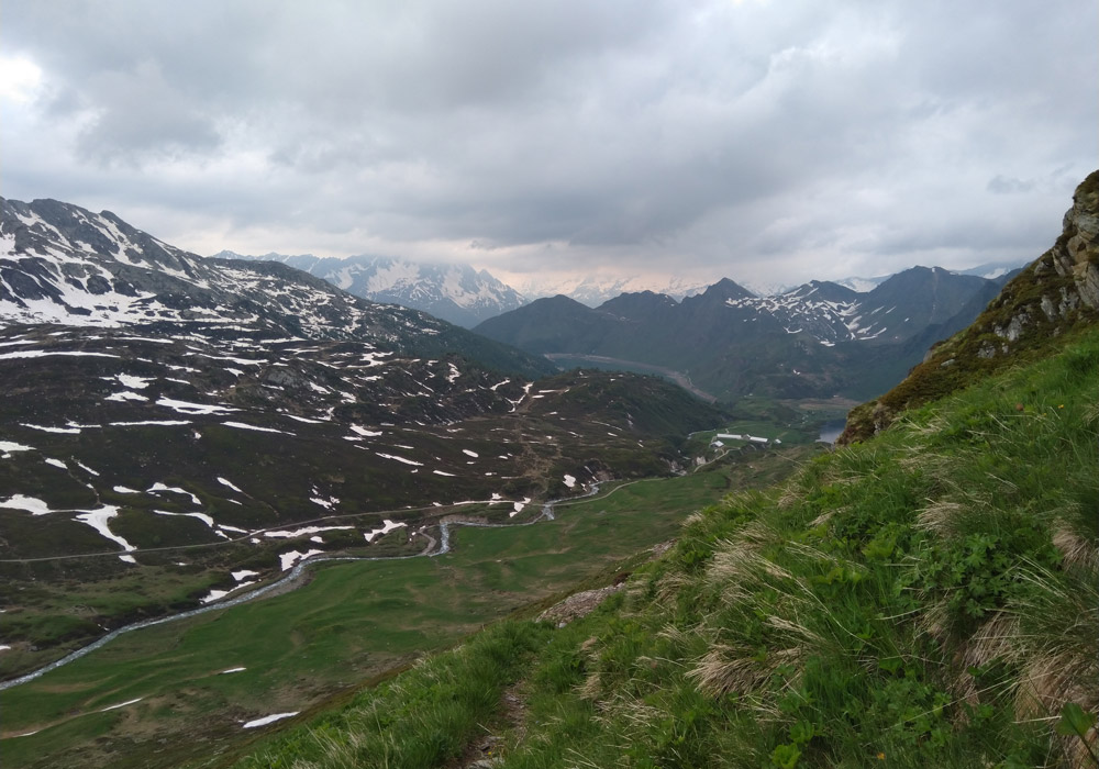
The current Earth System Science field course to Val Piora is more spectacular than most. Accessible by one of the world's steepest funicular railways, this alpine valley is located at almost 2000 m in the Gotthard massif, with characteristics exciting across almost all Earth System Science fields.
One of the biologically richest areas in the Alps
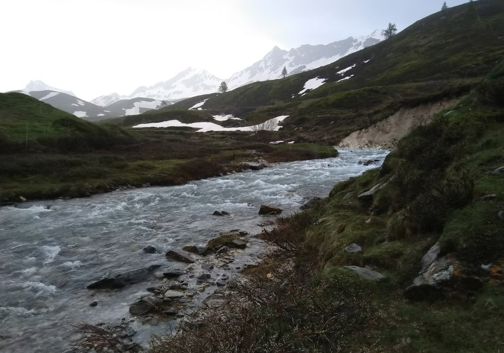
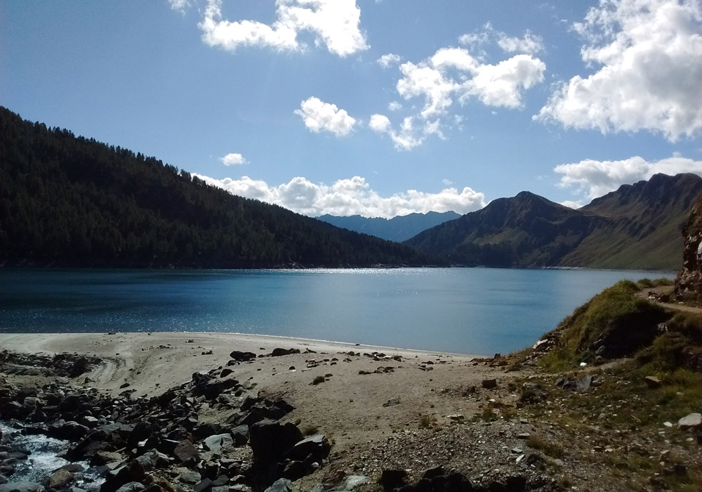
Geologically three major tectonic units are exposed, a central valley of white metamorphosed sediments between the surrounding nappes of grey crystalline rock. There are over 20 small lakes, from the artificial reservoir Lake Ritom to Lake Cadagno, a rare permanently stratified meromictic lake. Landscapes vary from larch and pine forest, to wetlands, to expansive meadows and pastures. This diversity has created one of the biologically richest areas in the Alps, with over one thousand plant species, an Important Bird Area, and mammals such as ibex, deer and marmot. And despite the remote location, human influence via pasture expansion over 800 years ago can be detected from lake pollen records. Today, pastoral land use continues, with famous local cheese production continuing today, alongside several thousand tourists.
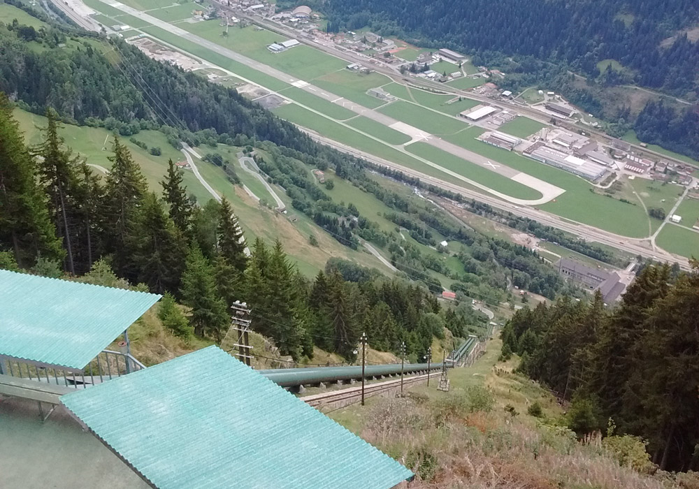
We visit Val Piora every summer with around 20 students. After a five kilometre hike along the lakeside, we reach the Cadagno research station for Alpine biology. Located next door (and above) of stables for the local cheese factory, you soon get used to the ringing of cowbells.
Slope impact on berry weight and cow pats as indicators of grazing density
The aim of the course is to give a hands-on overview of the scientific process, and experience of relevant field methods for Earth System Science and Geography research. To do this, students design a project from start to finish to explore the interactions between the different earth system spheres. The students have never failed to show hard work and great enthusiasm - sometimes too much when the instructors have to trek up the hillside before the light fades as they attempt one more sample. Participants have looked at everything from slope impact on berry weight, to effects of grazing on soil respiration, using cow pats as an indicator of grazing density. It's an intense few days, but the value far outweighs the time spent.