New Paper: Using SAR Drones for 3D Mapping of Urban Infrastructure
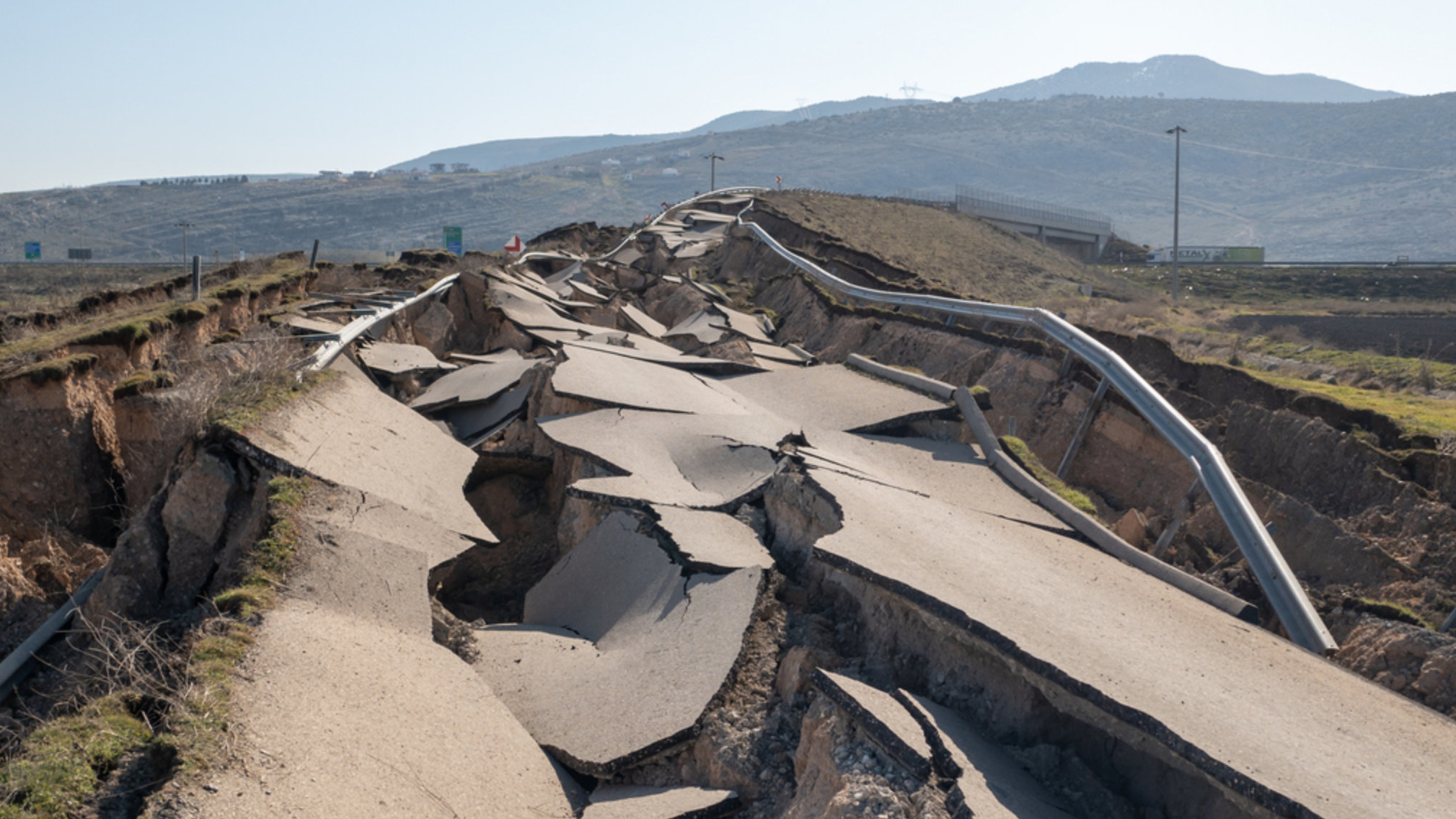
Satellites and aircrafts with special radar systems, known as Synthetic Aperture Radar (SAR), are often used to create detailed 3D maps of the Earth's surface. However, they are not always suitable for specific situations, such as rapid assessments after natural disasters. In the aftermath of natural disasters like earthquakes, timely and accurate spatial data is critical. Emergency responders rely on this data to evaluate the state of infrastructure, identify safe evacuation routes, and coordinate response efforts. In the event of an earthquake, detailed 3D maps help to show which buildings are damaged and to what extent.
In such a scenario, drones can be deployed quickly. Another advantage is that drones can capture different perspectives, thanks to their flexible flight paths. Despite these advantages, few studies to date have investigated the use of high-frequency SAR drones for 3D imaging. A new study conducted by Peter Brotzer, Emiliano Casalini, David Small, Alexander Damm-Reiser and Elías Méndez Domínguez from the SARLab at the Remote Sensing of Water Systems (RSWS) group explores how drones with high-frequency radar can accurately produce 3D point clouds of complex structures.
How can SAR drones be used to generate 3D point clouds?

To better understand how SAR drones can be used to generate 3D point clouds, the researchers conducted a series of flights around urban infrastructure in three different locations in Switzerland. For their tests, they used a drone with a high-frequency SAR system. The study's results showed that the data captured by the drone was highly accurate. The data even allowed to identify hidden structural elements, such as metal stairs concealed behind a wooden tower facade.
The researchers also investigated whether increasing the number of viewing angles would continue to improve the quality of the 3D point clouds. They found that additional perspectives initially improved the completeness of the images, but this positive effect diminished with an even increasing number of perspectives. Based on these findings, the team recommends using a limited number of viewpoints tailored to the layout of the area or structure being mapped, to optimize efficiency without losing necessary details.
Besides the number of viewing angles, the baseline configurations are important for generating complete images. The baseline is the physical distance between two radar observation points when collecting data and is crucial for measuring height and depth accurately. The study found that with less complex structures, a single baseline is enough to generate accurate 3D point clouds if the distance is chosen carefully. It needs to be wide enough to reduce noise, which are random signal errors, but not too wide, such that it causes errors in determining how tall objects are. However, in complex environments, like cities with many overlapping surfaces, a single baseline is not enough. In these cases, using two baselines (i.e., three observation positions) can help to capture more details.