Inclusive Mobility & Sustainable Transport
Spatial accessibility, defined as the "potential for interaction opportunities," traditionally refers to how easily destinations like services, social places, or friends from a specific location can be reached through movement in physical space. Advances in digitalization and Geographic Information Systems (GIS) have significantly improved accessibility assessment by providing open-access geographical information and enhancing modeling capabilities.
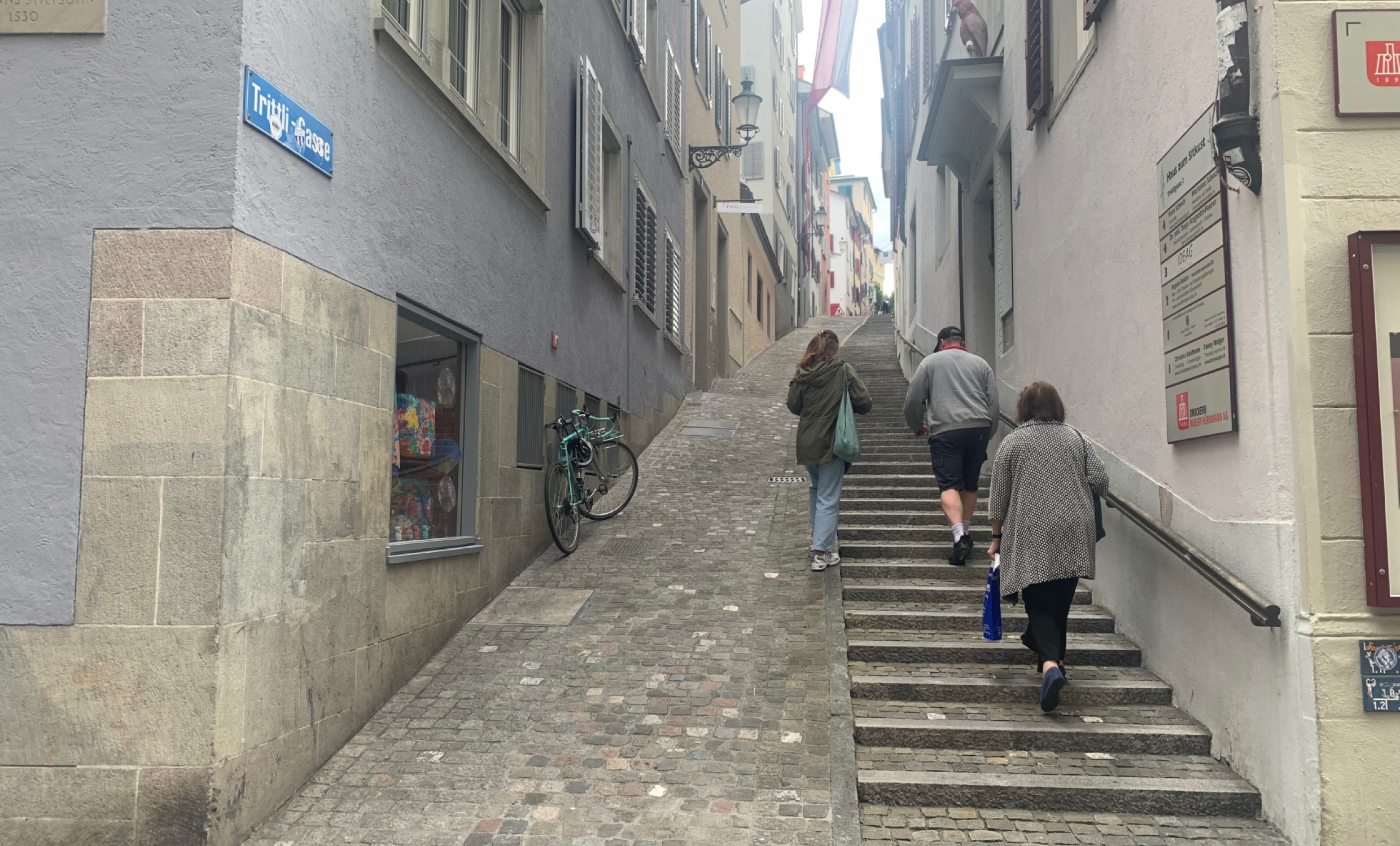
Despite the potential contributions of people with mobility impairments or older age to our understanding of accessibility, they are often underrepresented in large-scale studies. Our projects aim to address this gap, contributing to a more comprehensive understanding of the interplay between spatial accessibility, spatial mobility, and mobility impairments, providing vital indicators for policymakers.
We aim to establish the foundation for automated mapping of individualized, context- and situation-aware accessibility profiles. This involves generating and leveraging open-access geographical and environmental data alongside mobile sensor tracking data, utilizing novel digital data collection methods and artificial intelligence analysis tools. This approach enables the exploration of new questions from both individual and population perspectives, offering unprecedented insights.
Projects
SISAL
ZuriACT
ZuReach
Sample Publications
Allahbakhshi, H., Harrafamoughin, A. (2025).
Sidewalk width measurement using street view images and spatial data analysis. In the proceedings of the 33rd Annual GIS Research UK Conference (GISRUK), University of Bristol, UK.
https://doi.org/10.5281/zenodo.15182508
Georgescu, A. I., Allahbakhshi, H., & Weibel, R. (2025).
Developing enriched pedestrian networks using accessibility features. AGILE: GIScience Series, 6, 23.
https://doi.org/10.5194/agile-giss-6-23-2025
Allahbakhshi, H., Ardüser A. (2024).
Navigation Challenges in Urban Areas for Persons with Mobility Restrictions (Short Paper). In 16th International Conference on Spatial Information Theory (COSIT 2024). Leibniz International Proceedings in Informatics (LIPIcs), Volume 315, pp. 22:1-22:8, Schloss Dagstuhl – Leibniz-Zentrum für Informatik (2024).
https://doi.org/10.4230/LIPIcs.COSIT.2024.22
Georgescu, A. I., Allahbakhshi, H., & Weibel, R. (2024).
The impact of microscale street elements on active transport of mobility-restricted individuals: A systematic review. Journal of Transport & Health, 38, 101842.
https://doi.org/10.1016/j.jth.2024.101842
Allahbakhshi, H. (2023).
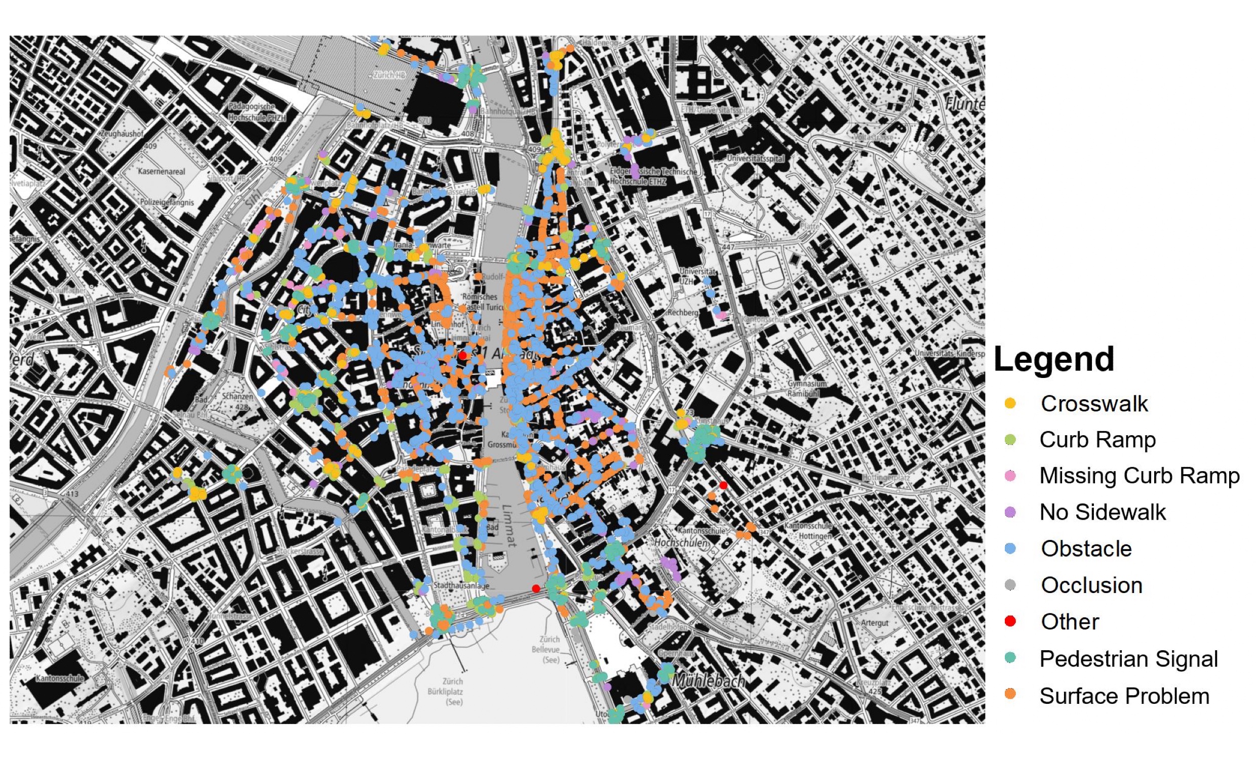
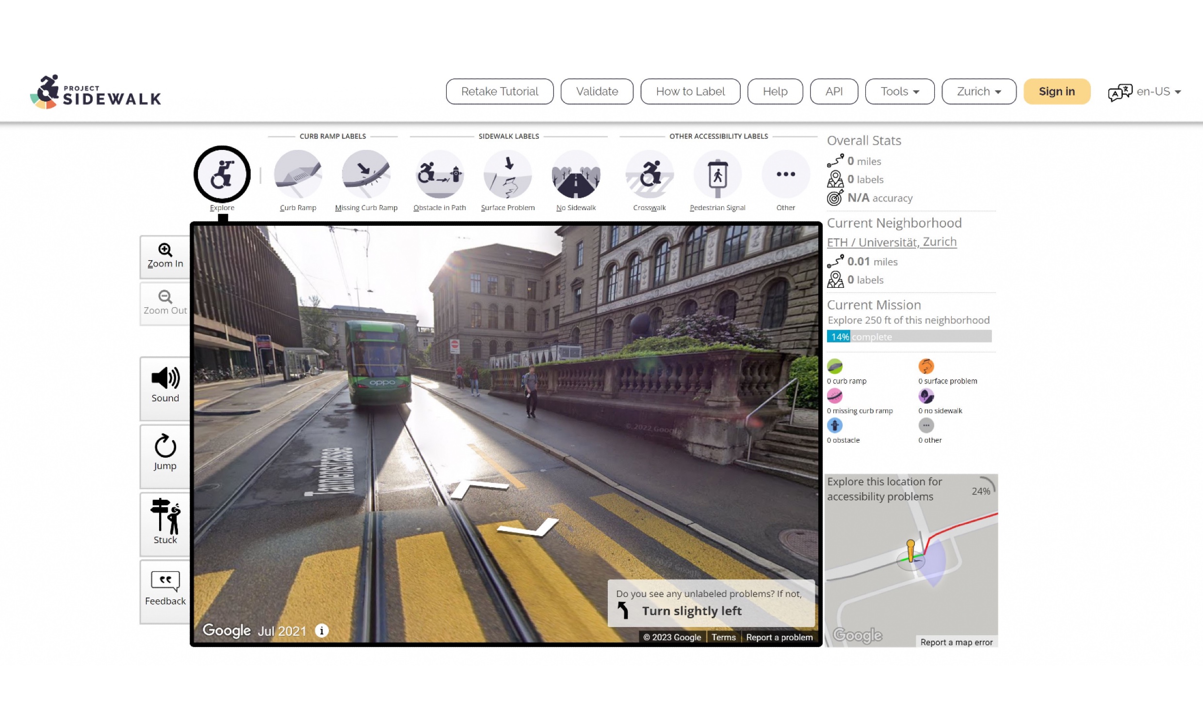
Towards an Inclusive Urban Environment: A Participatory Approach for Collecting Spatial Accessibility Data in Zurich. In 12th International Conference on Geographic Information Science (GIScience 2023). Schloss-Dagstuhl-Leibniz Zentrum für Informatik.
https://doi.org/10.4230/LIPIcs.GIScience.2023.13
Allahbakhshi, H., Senn, J., Maiani, N., & Georgescu, A. (2023).
Spatial accessibility assessment of homecare workers to the older population in the city of Zurich. AGILE: GIScience Series, 4, 17.
https://doi.org/10.5194/agile-giss-4-17-2023
Group leader
Dr. Hoda Allahbakhshi
Group members
Alexandra-Ioana Georgescu (PhD project: Spatial Accessibility Modelling for Inclusive Mobility)
Cassandra Zanivan (Research assistant, Master student GIS)
Leqi Wang (MSc thesis: Detecting Sidewalk Accessibility Features Using Deep Learning: A Case Study in the City of Zurich with Street View Imagery)
Christopher Jan Vacek (MSc thesis: Using Computer Vision to Enrich Level of Traffic Stress Mapping with Spatio-Temporal Traffic Volumes in the City of Zurich)
Alireza Harrafamoughin (IT specialist)
Former members
Annina Ardüser (MSc thesis: How do existing routing services respond to the needs of mobility-restricted population groups?)
Chiara Ballinari (MSc thesis: Towards Inclusive Urban Mobility: Enriching Pedestrian Paths for a 15-Minutes City)
Belongs to the organizational unit
Geographic Information Systems


