PhD Projects
The following list of ongoing and completed Ph.D. projects gives an impression of some of the research that is carried out by our graduate students. Responsible advisors are shown in brackets.
Ph.D. theses in progress

Changyu, Han
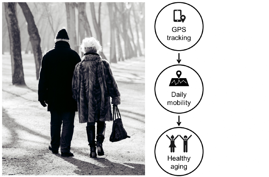
Modeling restorative places from daily mobility data to explore functions of healthy aging
(Weibel, Fu)
Completed Ph.D. theses
If not available below, PDFs of Ph.D. theses can be found in the library catalog of the University of Zurich.
2026
Georgescu, Alexandra
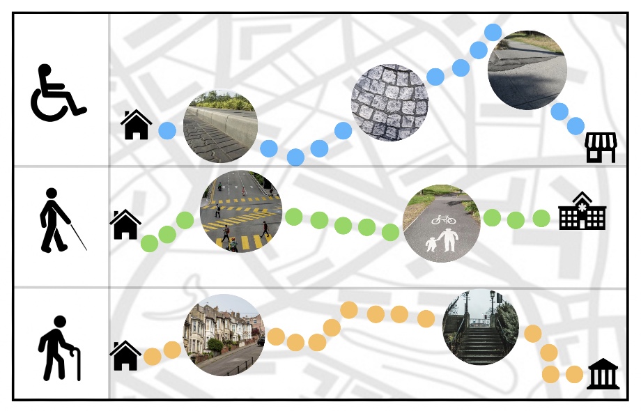
Spatial Accessibility Modelling for Inclusive Mobility
(Weibel, Allahbakhshi, Darvishy, Purves, Christina Röcke)

Hirschhofer, Simon
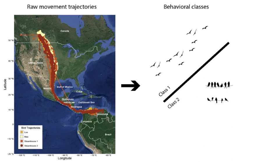
The influence of artificial illumination on nocturnal bird migration patterns
(Weibel, Ranacher / Schmid, Helm, Vogelwarte Sempach)
PDF (PDF, 79 MB)
2022
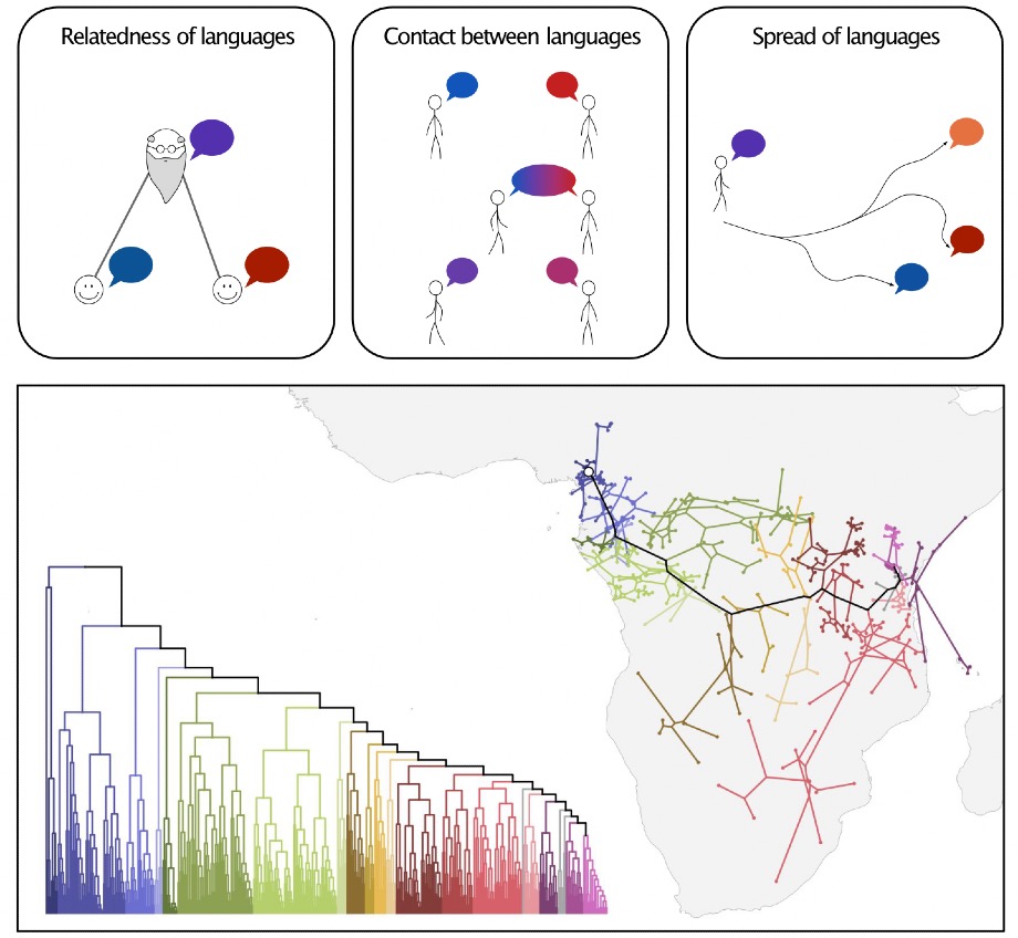
Neureiter, Nico
Travelling with speakers through time and space: Spatio-temporal modelling of language change
(Ranacher, Weibel)
PDF (PDF, 42 MB)
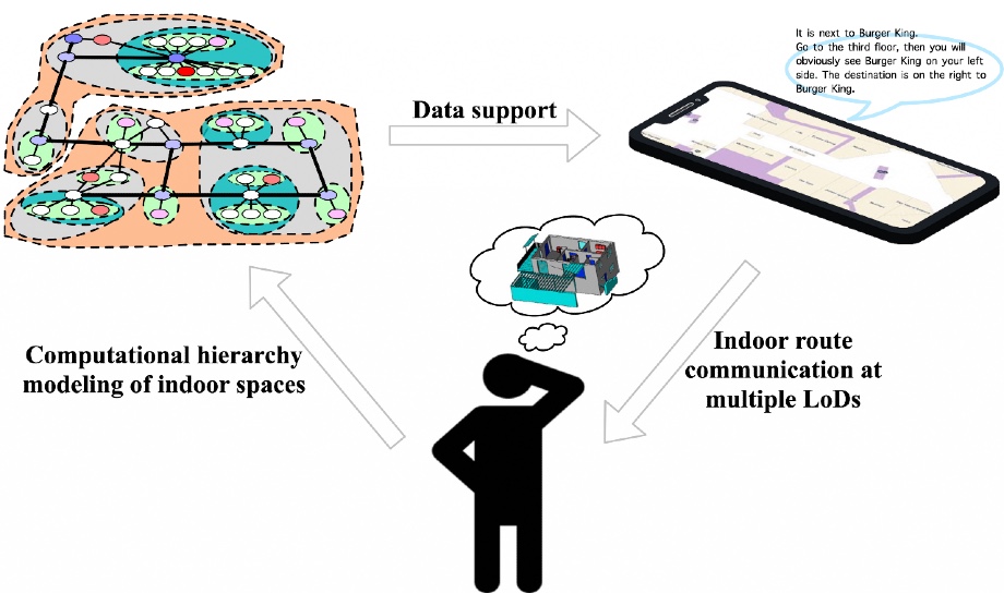
Zhou, Zhiyong
Hierarchical Modeling of Indoor Spaces: Towards Route Communication at Multiple Levels of Detail for Navigation in Buildings
(Huang, Ghent University / Weibel)
PDF (PDF, 117 MB)
2021
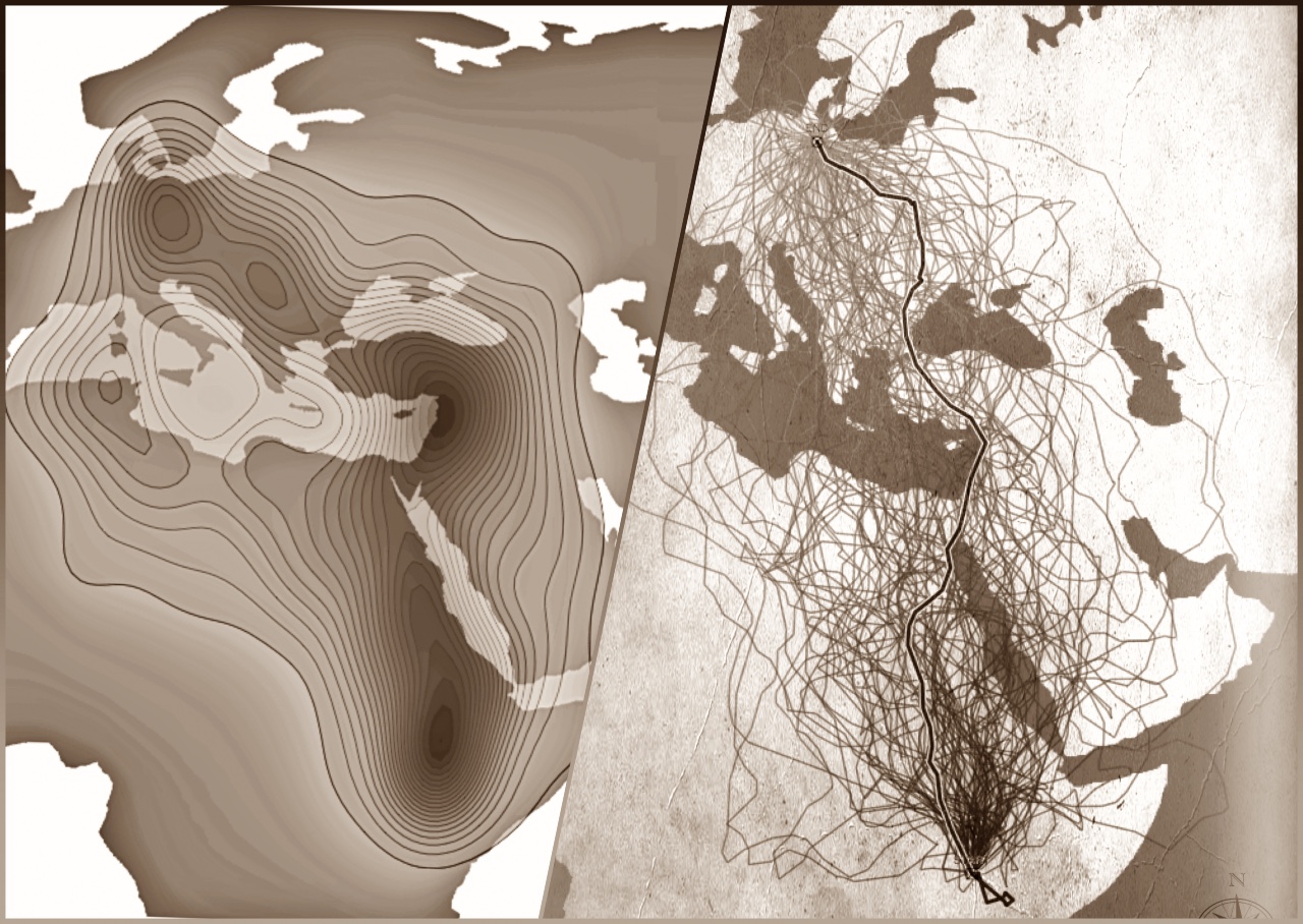
Technitis, Georgios
Which Route to Choose? Generating Context-Aware and Empirically Informed Random Trajectories to Investigate Movement
(Weibel)
PDF (PDF, 18 MB)
Sayidov, Azimjon
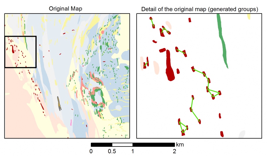
An Integrated Methodology for Automated Generalization of Geological Maps
(Weibel)
PDF (PDF, 13 MB)
Allahbakhshi, Hoda
Using Multi-Sensor Tracking Data to Analyze Human Mobility and Activity Behavior
(Weibel / Martin, Psychology)
PDF (PDF, 7 MB)
Aliakbarian, Meysam
Abstraction and Cartographic Generalization of Geographic User-Generated Content
Use-Case Motivated Investigations for Mobile Users
(Weibel, Purves)
PDF (PDF, 11 MB)
2019
Burkhard, Oliver
Towards Passive Tracking and Analyses of Human Mobility at Population Scale
(Weibel)
PDF (PDF, 13 MB)
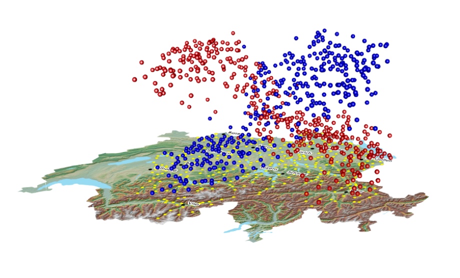
Fillekes, Michelle
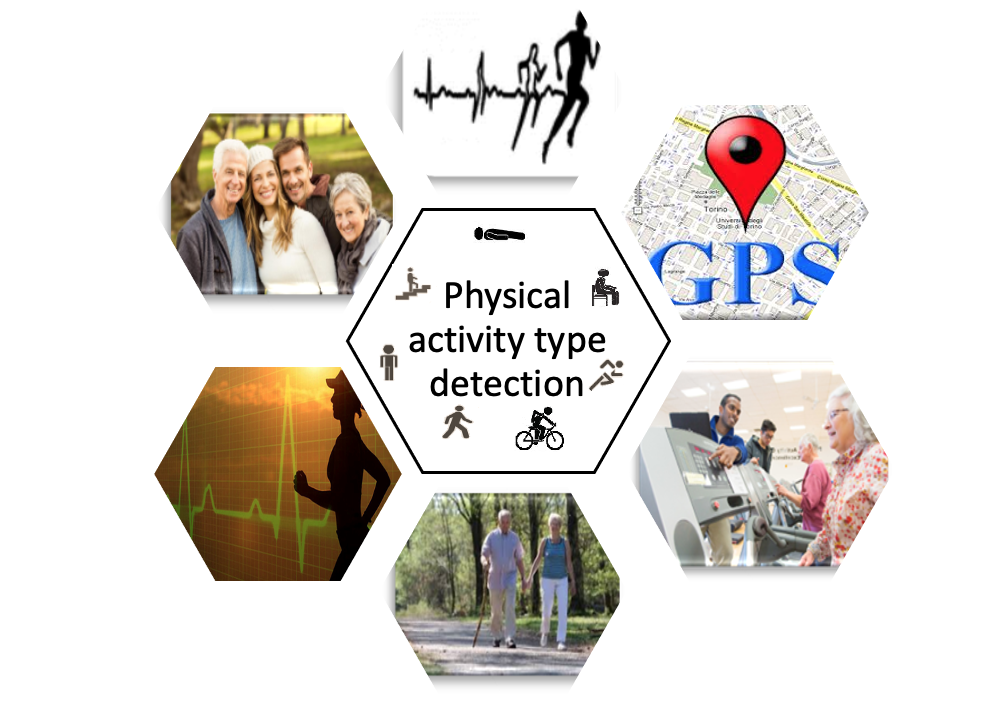
GPS - Based Assessment of Daily Mobility for Healthy Aging
(Weibel / Martin, Psychology)
PDF (PDF, 9 MB)
2018
Jeszenszky, Peter
Quantitative modeling of geographic influences on morphosyntactic area formation in Swiss German
(Weibel/ Glaser, German Dept.)
PDF (PDF, 71 MB)
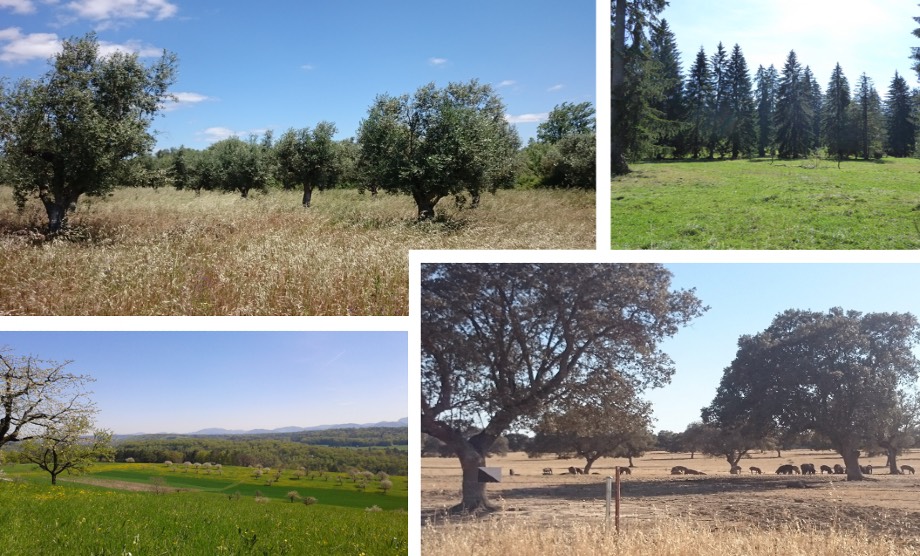
Kay, Sonja
Assessment of Ecosystem Services provided by Agroforestry Systems at the Landscape Scale
(Herzog, Agroscope / Weibel)
PDF (PDF, 4 MB)
2016
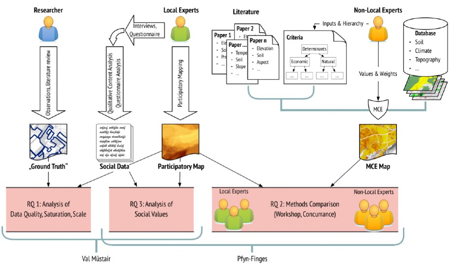
Rohrbach, Benjamin
Assessing Participatory Mapping and Multi Criteria Evaluation for Land Use Change Analysis
(Laube / Weibel)
PDF (PDF, 17 MB)
Soleymani, Ali
Cross-Scale Analysis In Classification And Segmentation Of Movement
(Weibel)
PDF (PDF, 8 MB)
2015
Bereuter, Pia
Quadtree-based Real-time Point Generalisation for Web and Mobile Mapping
(Weibel / Burghardt, TU Dresden)
PDF (PDF, 19 MB)
Venkateswaran, Ramya
Extracting and Linking Locations and Activities from the Geospatial Web
(Weibel / Purves / Burghardt, TU Dresden)
PDF (PDF, 6 MB)
Gschwend, Christian
Relating Movement to Geographic Context – Effects of Preprocessing, Relation Methods and Scale
(Laube / Weibel / Purves)
PDF (PDF, 18 MB)
2011
Dodge, Somayeh
Spatio-Temporal Pattern Analysis of Moving Point Objects
(Weibel / Fabrikant)
PDF (PDF, 14 MB)
Lüscher, Patrick
Providing Enriched Spatial Data - Ontology driven Recognition of Urban Structures from Spatial Databases
(Weibel / Burghardt)
PDF (PDF, 8 MB)
2010
Haller, Ruedi
Integratives Geoinformationsmanagement in der Schutzgebietsforschung unter besonderer Berücksichtigung der räumlichen Genauigkeit
(Allgöwer / Imfeld / Weibel)
PDF (PDF, 11 MB)
Straumann, Ralph
Extraction and characterisation of landforms from digital elevation models: Fiat parsing the elevation field
(Purves / Weibel / Korup, SLF)
PDF (PDF, 9965 KB)
2008
Hebeler, Felix
Modelling Topographic Uncertainty: Impacts on Large Scale Environmental Modelling
(Purves / Weibel)
PDF (PDF, 11 MB)
Syed, Awase Khirni
Exploratory Representations for Geographic Information Retrieved from the Internet
(Weibel / Purves)
PDF (PDF, 9 MB)
2007
Edwardes, Alistair
Re-placing Location: Geographic Perspectives in Location Based Services
(Prof. R. Weibel / Dr. D. Burghardt)
PDF (PDF, 9 MB)
Neun, Moritz
Data Enrichment for Adaptive Map Generalization Using Web Services
(Prof. R. Weibel / Dr. D. Burghardt)
PDF (PDF, 4 MB)
Steiniger, Stefan
Enabling Pattern-Aware Automated Map Generalization
(Prof. R. Weibel / Dr. D. Burghardt)
PDF (PDF, 20 MB)
2006
Isenegger, Daniel
IPODLAS - A framework for coupling Temporal Simulation Systems, Virtual Reality, and Geographic Information Systems
(Dr. B. Allgöwer / Prof. R. Weibel)
PDF (PDF, 8 MB)
2005
Laube, Patrick
Analysing Point Motion - Spatio-Temporal Data Mining of Geospatial Lifelines
(Prof. R. Weibel / Dr. B. Allgöwer / Dr. St. Imfeld)
PDF (PDF, 9 MB)
Leyk, Stefan
Computing the Past - Utilizing Historical Data Sources for Map-Based Retrospective Landscape Research
(Prof. R. Weibel / Dr. R. Boesch, WSL / Dr. N. Zimmermann, WSL)
PDF (PDF, 11 MB)
Maggioni, Margherita
Avalance Release Areas and Their Influence on Uncertainty in Avalanche Hazard Mapping
(Dr. U. Gruber, SLF / Dr. R. Purves / Prof. R. Weibel)
PDF (PDF, 17 MB)
Walz, Ariane
Land use modelling for an integrated approach to regional development in the Swiss Alps
(Prof. R. Weibel / Dr. R. Purves / Dr. P. Bebi, SLF / Dr. S. Kytzia)
PDF (PDF, 4 MB)
2004
Hugentobler, Marco
Terrain Modelling with Triangle Based Free-Form Surfaces
(Prof. R. Weibel / Dr. R. Purves / Dr. B. Schneider, University of Basel)
PDF (PDF, 4 MB)
2003
Cecconi, Alessandro
Integration of Cartographic Generalization and Multi-Scale Databases for Enhanced Web Mapping
(Prof. Dr. R. Weibel / Dr. D. Burghardt)
PDF (PDF, 2 MB)
Galanda, Martin
Automated Polygon Generalization in a Multi Agent System
(Prof. Dr. R. Weibel / Dr. D. Burghardt)
PDF (PDF, 2 MB)
2002
Martinoni, Daria
Quality Management in Digital Terrain Modelling
(Prof. R. Weibel, Dr. Bernhard Schneider)
PDF (PDF, 22 MB)
2001
Bachmann, Andreas
GIS-based Wildland Fire Risk Analysis
(Prof. Dr. R. Weibel / Dr. B. Allgöwer)
PDF (PDF, 1 MB)
Bader, Mattias
Energy Minimizing Methods for Feature Displacement in Map Generalization
(Prof. Dr. R. Weibel / Prof. K. Brassel)
PDF (PDF, 5 MB)
2000
Brazile, Frank
Semantic Infrastructure and Methods to Support Quality Evaluation in Cartographic Generalization
(Prof. R. Weibel)
PDF (PDF, 2 MB)
Imfeld, Stephan
Time, Points and Space - towards a better Analysis of Wildlife Data in GIS
(Prof. K. Brassel / Dr. B. Allgöwer / Prof. B. Nievergelt, Institute of Zoology)
PDF (PDF, 40 MB)
1998
Bucher, Felix
Regionenbasierte Wahl und Parametrisierung von Interpolationsmodellen
(Prof. Dr. K. Brassel / Prof. R. Weibel)
PDF
Dutton, Geoffrey
Working Through the Scales -- A Hierarchical Coordinate System for Digital Map Data
(Prof. R. Weibel / Prof. K. Brassel)
PDF (PDF, 11 MB)
A reformatted and slightly condensed version of this monograph was published as:
Dutton, Geoffrey H. (1999)
A Hierarchical Coordinate System for Geoprocessing and Cartography, Lecture Notes in Earth
Sciences 79, Springer-Verlag, ISBN 3-540-64980-8
Schneider, Bernhard
Geomorphologisch plausible Rekonstruktion der digitalen Repräsentation von Geländeoberflächen aus Höhenliniendaten
(Prof. R. Weibel / Prof. Dr. K. Brassel)
PDF
Westort, Caroline
Methods for Sculpting Digital Topographic Surfaces
(Prof. R. Weibel / Prof. K. Brassel / Prof. S. Ervin, Harvard University)
PDF (PDF, 11 MB)
1997
Bosshard, Walter
Homogenisierung klimatologischer Zeitreihen, dargelegt am Beispiel der relativen Sonnenscheindauer1997
(Prof. K. Brassel / Dr. G. Gensler and Dr. W. Kirchhofer, SMA)
PDF
Brändli, Martin
Modelle und Methoden für die Extraktion geomorphologischer und hydrologischer Objekte aus digitalen Geländemodellen
(Prof. Dr. K. Brassel / Prof. R. Weibel)
PDF
Vckovski, Andrej
Interoperable and Distributed Geoprocessing
(Prof. Dr. K. Brassel / Prof. R. Weibel)
PDF
A reformatted and slightly condensed version of this monograph was published as:
Vckovski, Andrej (1998)
Interoperable and Distributed Geoprocessing in GIS.
London: CRC Press, ISBN 9780429078996
1994
Bär, Hans Rudolf
Interaktive Bearbeitung von Geländeoberflächen — Konzepte, Methoden, Versuche
(Prof. Dr. K. Brassel / Prof. R. Weibel)
PDF