Applied GIS and Spatial Data Analysis in Connected Mobility Systems
The internship at c.technology focused on the application of GIS and geospatial data within a cloud-based mobility platform. Core topics included GPS-based trip detection, spatial visualization of globally distributed vehicles, and location-based services in the maritime and mobility sector.
My experience
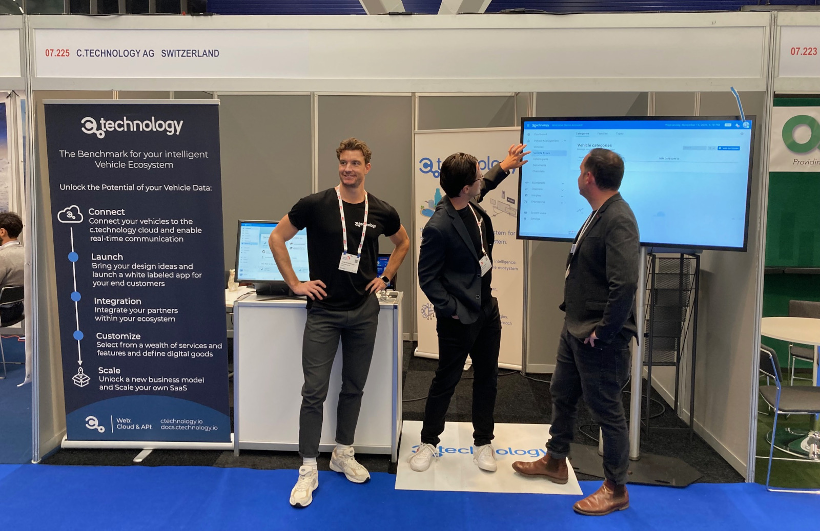
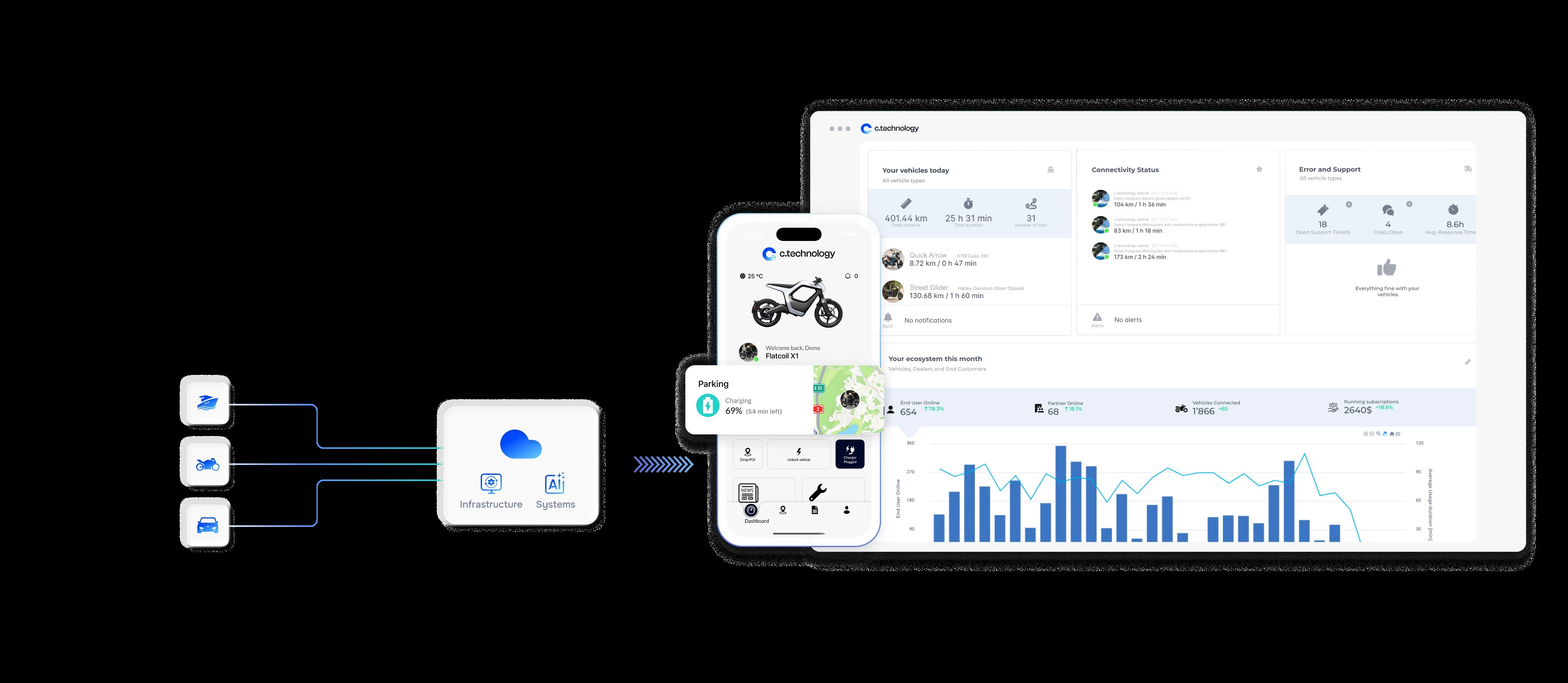
During my internships at c.technology, I supported the team in GIS-related tasks within a technology-driven mobility environment. The company develops a cloud platform that processes real-time vehicle data, including GPS positions and movement data, and transforms them into digital services for manufacturers, dealers, and end users.
A key learning outcome was understanding how GIS concepts are applied outside classical desktop GIS software. Instead, spatial thinking was embedded in automated systems and digital products. I worked with topics such as GPS-based trip detection on water and land, including challenges related to GPS jitter and false positives, global visualization of connected vehicles, and location-based services such as shoreline proximity warnings.
The working atmosphere was open, collaborative (small team), and interdisciplinary, combining expertise from software development, data science, and product management. A highlight of the first internship was representing the company at the international METS conference in Amsterdam, which provided insights into real-world maritime use cases of geospatial technologies.
Students considering a similar internship should be comfortable working in a technical environment and be interested in applied GIS, data-driven systems, and interdisciplinary collaboration. Analytical thinking, basic GIS knowledge, and curiosity were particularly helpful.
Organisation
The internship was organized through direct contact with the company. I approached c.technology proactively and discussed potential areas of support, particularly related to GIS and spatial data. Such internships are not always formally advertised, making direct inquiries especially effective.
Important prerequisites include an interest in applied GIS, spatial data, and digital systems, as well as the ability to work independently in a small team. Prior knowledge of GIS concepts is beneficial, while deep technical skills can be developed during the internship. As the internship took place in Switzerland, no special arrangements regarding housing were required.
Michael Fehr