Research services
Grid containing content elements
The World Glacier Monitoring Service (WGMS) compiles and disseminates standardized data on glacier fluctuations.
Systematic documentation and monitoring of long-term glacier changes in the Swiss Alps.
Systematic documentation of the state and changes of mountain permafrost in the Swiss Alps.
The Cantonal Statistical Office, Opendata.ch, UZH and the Zurich University of the Arts (ZHdK) joined forces and are developing and reflecting on indicators that can be used to record and measure social change.
GeoLabs are the shared laboratory services of several GIUZ research units and open for scientific collaboration.
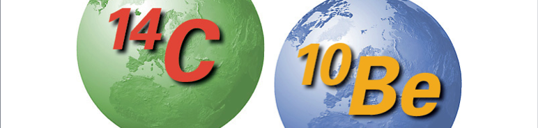
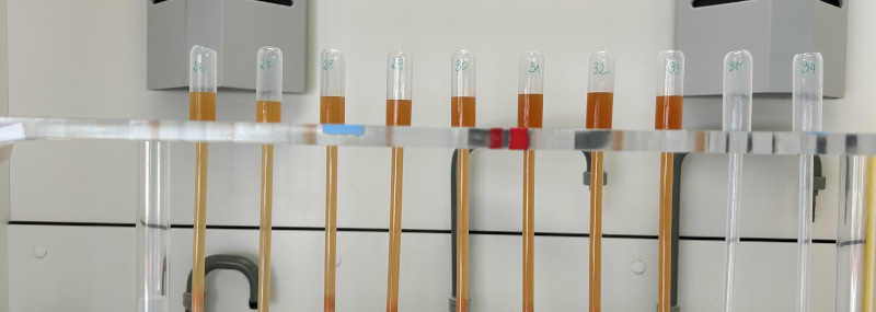
Geochronology: Dating landscape changes and geomorphic surface dynamics.
Optical satellite image data distribution, processing, support and consulting to Swiss stakeholders for any region in the world.

The Urban Data Hub provides data on population-level urban trends at fine geographic resolutions, enabling linkage across sectors and supporting the study of complex urban dynamics.
The GIS Hub offers support in the use of Geographic Information Systems (GIS) to researchers and students across UZH.
An integrated research infrastructure to measure terrestrial processes of the Earth system at regional scale.
Facilitating comparative analyses of black carbon in diverse environmental matrices.
Unterrichtsmaterialien, Maturaarbeiten, Georeliefs, Smartphone-Exkursionen, Sabbaticals am GIUZ etc.
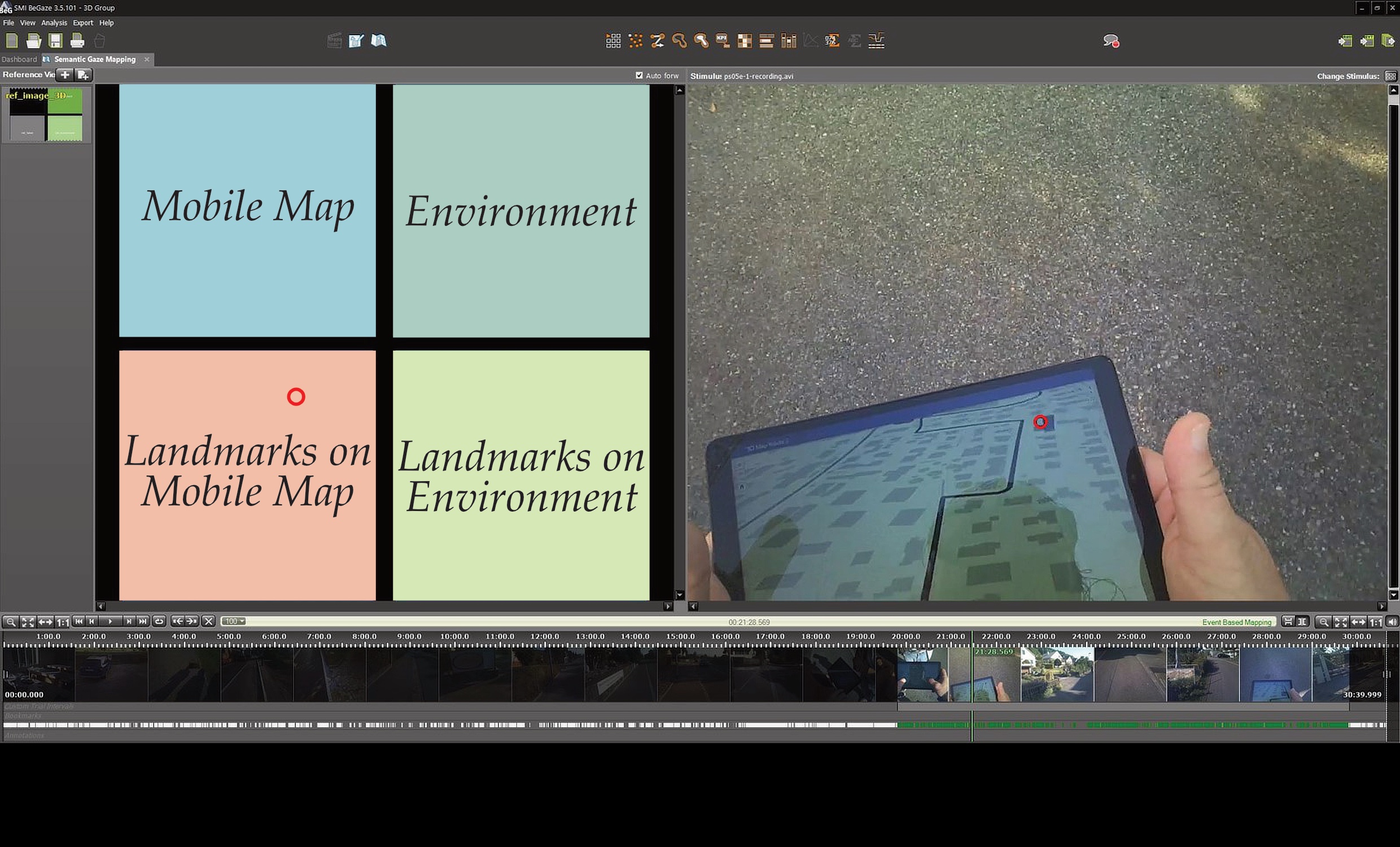
Geographic Information Visualization and Analysis (GIVA) Services: Eye Tracking, Head Mounted Augmented Reality, Cave Automatic Virtual Environment, etc.
Hydrology & Climate Services: HBV Model, Hysteresis Index, Water Games, Teaching Material etc.