
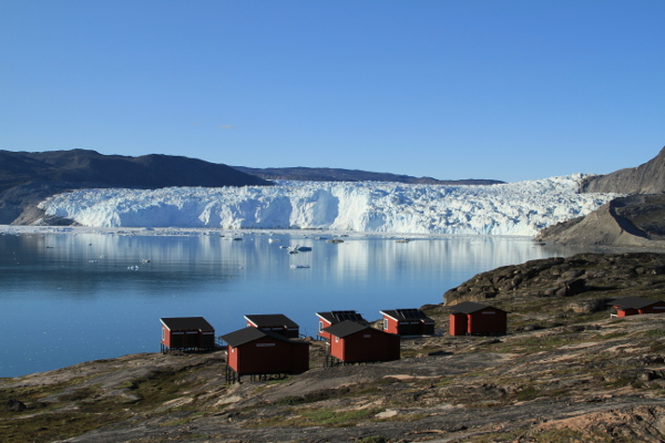
Eqip Sermia, Greenland
Calving dynamics of Eqip Sermia, West Greenland
Project
Eqip Sermia is a rapidly retreating Greenland outlet glacier. Due to its very long documented history (since 1912), and its geometry it is a very interesting target. Currently, we investigate its calving dynamics with a range of complementary methods
- Ground-based radar interferometry (GPRI)
- Satellite remote sensing (using Radarsat ad Sentinel-1)
- Time lapse cameras
- High-frequency tide gauges
- Geochronology, mapping and dating of plants, moraines and beaches
Publications
Fieldwork
The Eqip Sermia project involves field work in Greenland
2018 summer
- 10 days of continuous measurements with the GPRI radar interferometer
- installation of tide gauges and meteo station
- investigations of long-term ice dynamics at a slow-moving ice margin
- operation of time-lapse cameras
- repeated drone flights (collaboration with VAW/ETHZ)
- plant sampling for dendro-chronological dating (collaboration with WSL)
2017 summer
- 2 weeks of continuous measurements with the GPRI radar interferometer
- installation of tide gauges, meteo station, and ablation measurements
- investigations at a slow-moving ice margin
- operation of time-lapse cameras
- rock sampling for dating with cosmogenic nuclides
2016 summer
- 3 weeks of continuous measurements with the GPRI radar interferometer
- installation of tide gauges, meteo station, and ablation measurements
- investigations at a slow-moving ice margin
- operation of time-lapse cameras
- plant sampling for dendrochronologic analyses
2015 summer
- 3 weeks of continuous measurements with the GPRI radar interferometer
- installation of tide gauges, meteo station, and ablation measurements
- operation of time-lapse cameras
2014 summer
- recognition of the glacier
- measurements with the GPRI radar interferometer
- installation of tide gauges and meteo station