Navigation auf uzh.ch
Navigation auf uzh.ch
A team from UZH and the Swiss Ornithological Institute studied how migratory birds cross the Swiss Alps for the first time using year-round radar measurements: migration intensities, flight altitudes, speeds and directions were monitored. It turned out that migratory birds use the Alpine valleys and adjacent passes as passages. This has important implications for the protection of migratory birds in the Swiss Alps, as valleys and pass crossings are also potential sites for wind turbines.
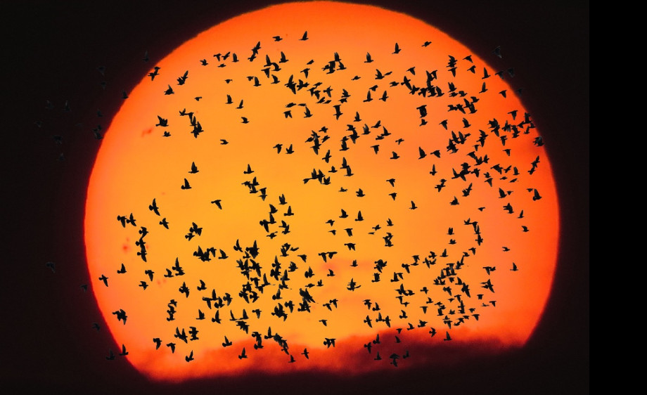
Every autumn, more than two billion migratory birds leave their breeding grounds in Europe. On their journey south, the Alps represent a particular barrier. While many birds widely circumvent the Alps, others choose the direct route to reach the wintering grounds south of the Sahara more quickly. Until recently, it was not exactly known how many birds cross the Alps and how they do so. Visual observations suggest that migratory birds fly primarily along Alpine valleys to avoid crosswinds and larger climbs.
However, most birds migrate at night, making migration difficult to observe. Traditionally, researchers count the silhouettes of passing birds against the full moon, a method that is both time-consuming and time-limited.
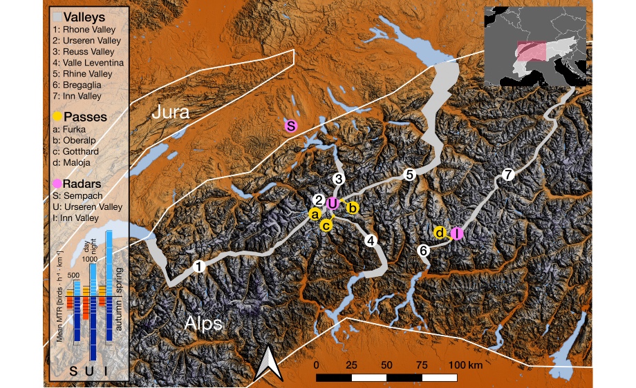
Highly specialised radar systems help researchers measure bird migration. They record birds up to 1,500 metres above the ground and provide precise numbers on bird migration. The team led by first author Simon Hirschhofer used two such scanners in the Swiss Inn- and Urseren Valley, and another scanner in the northern foothills of the Alps near Sempach. The results of the study confirm that migratory birds orientate themselves on the local topography of the valleys when crossing the Alps. The birds use valleys and adjacent mountain passes as passages through the Alps. Occasionally, this can locally lead to enormous migration peaks, where more than 20,000 birds pass by a valley section in an hour.
The results of the study have important implications for the protection of migratory birds in the Swiss Alps. Valleys and mountain passes are also potential locations for wind power plants. Collisions with wind turbines already pose a danger to migratory birds. "Radar technology should be used to monitor the intensity of migration locally," suggests Simon Hirschhofer. "At times when many birds are travelling, the turbines could be temporarily shut down. Or such locations could generally be avoided for wind energy generation." This would allow thousands of birds to travel safely from their winter quarters to their summer quarters and back.
Simon Hirschhofer, Felix Liechti, Peter Ranacher, Robert Weibel, Baptiste Schmid: High-intensity bird migration along Alpine valleys calls for protective measures against anthropogenically induced avian mortalityRemote Sensing in Ecology and Conservation 2024
https://doi.org/10.1002/rse2.377
Title image by G.C. on Pixabay