Navigation auf uzh.ch
Navigation auf uzh.ch
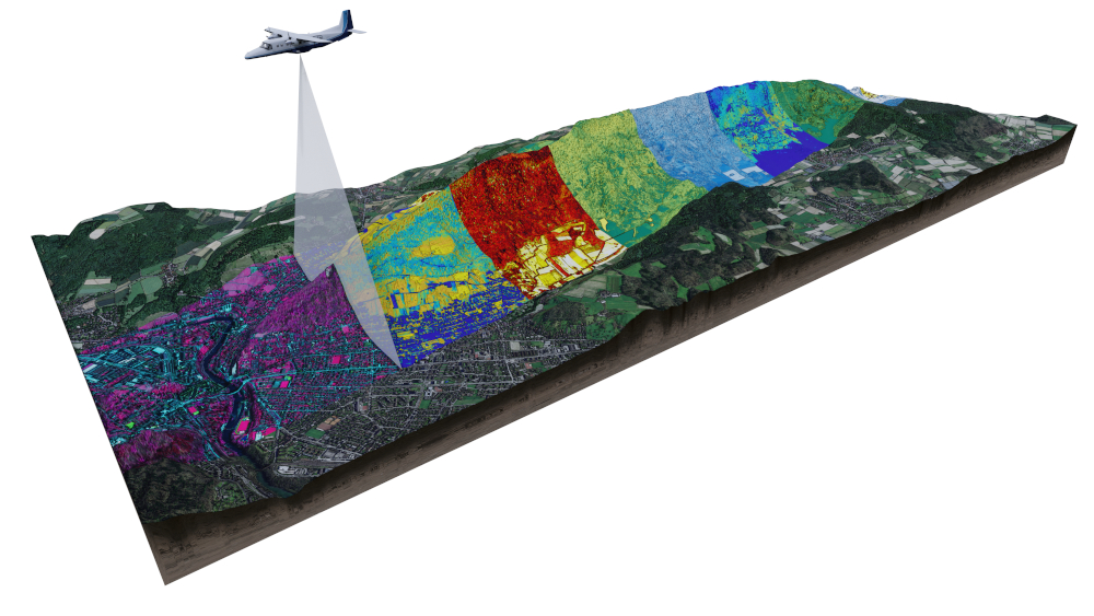
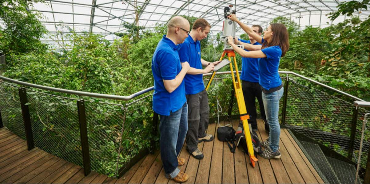
Our research group is focused on developing and applying remote sensing technologies to monitor and analyse forest ecosystems. This includes the use of LiDAR (Light Detection and Ranging) and other remote sensing tools to gather data on forest structure, biomass, and health. We develop innovative, physically-based methods for extracting detailed information from multi-scale remote sensing data, contributing to our understanding of forest dynamics, biodiversity, and carbon cycling. Additionally, we use radiative transfer models to deepen our knowledge of the fundamentals of remote sensing within the challenging 4D environment of forests.