Navigation auf uzh.ch

Suche

Department of Geography Remote Sensing

Spectroradiometric Observing Systems

  • 2019_uzh-geo_rifat_web.jpeg
  • airplane_inside_web.jpeg
  • airplane_mounting_web.jpeg

Overview

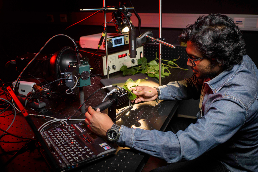
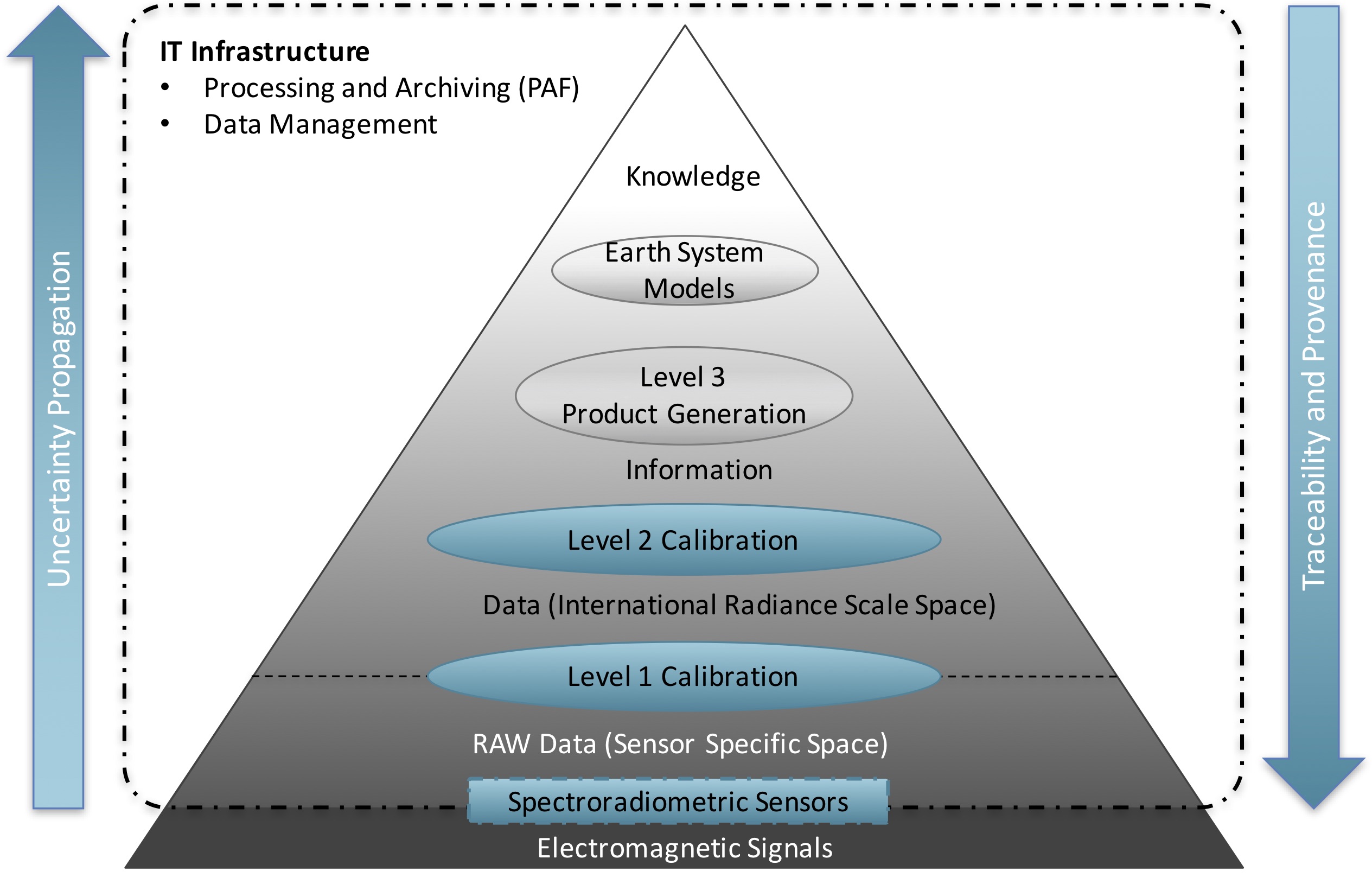
The Spectroradiometric Observing Systems group at RSL focusses on the calibration, characterisation and operation of spectroradiometric pointing and imaging systems and the subsequent data calibration.

Mission statement: From light to radiance and reflectance with known uncertainties.

We strive to provide analysis ready data to our colleagues at RSL and to our national and international collaborators and customers.

DIKW_spectroradiometric_observing_systems
Focus areas of the Spectroradiometric Observing Systems group within the remote sensing information hierarchy.


Systems

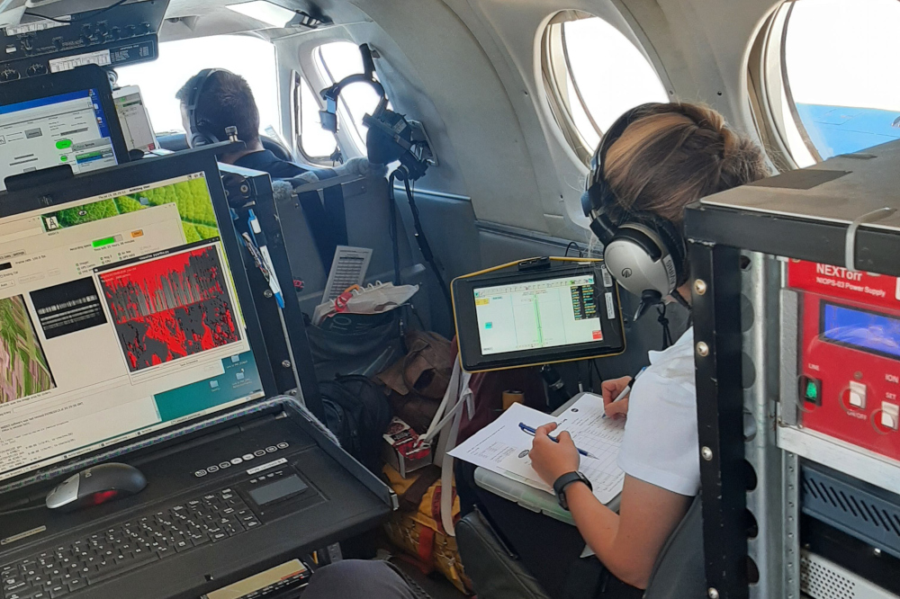
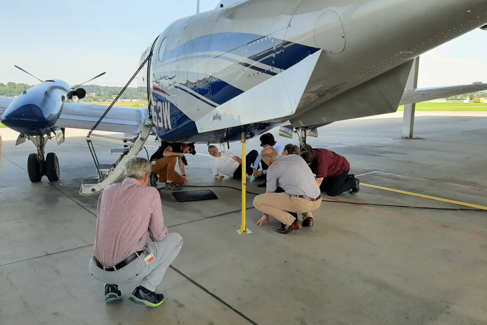
We calibrate and/or operate the following sensors and systems:

  • APEX - Airborne Prism Experiment Imaging Spectrometer (http://apex-esa.org)
    • Mission planning and operations (https://twitter.com/APEX_RSL)
    • Characterisation
    • Calibration
    • PAF development
    • Data processing
    • Vicarious CAL-VAL using Spectral Ground Control Points (SGCP)
    • Uncertainty analysis
  • AVIRIS-ng - NASA-owned Imaging Spectrometer (https://aviris-ng.jpl.nasa.gov)
    • Mission planning for European flight missions in collaboration with NASA/JPL (https://twitter.com/AVIRIS_NG_RSL)
    • Vicarious CAL-VAL using Spectral Ground Control Points (SGCP)
  • ARES - Airborne Research Facility for the Earth System (https://ares-observatory.ch)
    • Project management to build the next generation of airborne observing systems
  • ASD, SVC, UniSpec and FLoX point spectrometers
    • Characterisation
    • Calibration
    • Operation for Spectral Ground Control Points (SGCP) collection
    • SPECCHIO spectral database-centric processing chain
    • Uncertainty analysis
  • SPECCHIO Spectral Information System (https://specchio.ch)
    • Design and implementation

Team