Remote Sensing of Environmental Change
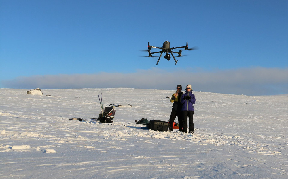
Our group aims to develop novel open-source techniques and methods to quantify environmental changes and thus understand the spatiotemporal patterns of climate change impacts on the cryosphere, forestry, and geomorphology. Thereby, we aim to observe and understand related processes by combining multi-sensor satellite data with airborne observations, including historical images and upcoming earth observation missions.