Navigation auf uzh.ch
Navigation auf uzh.ch
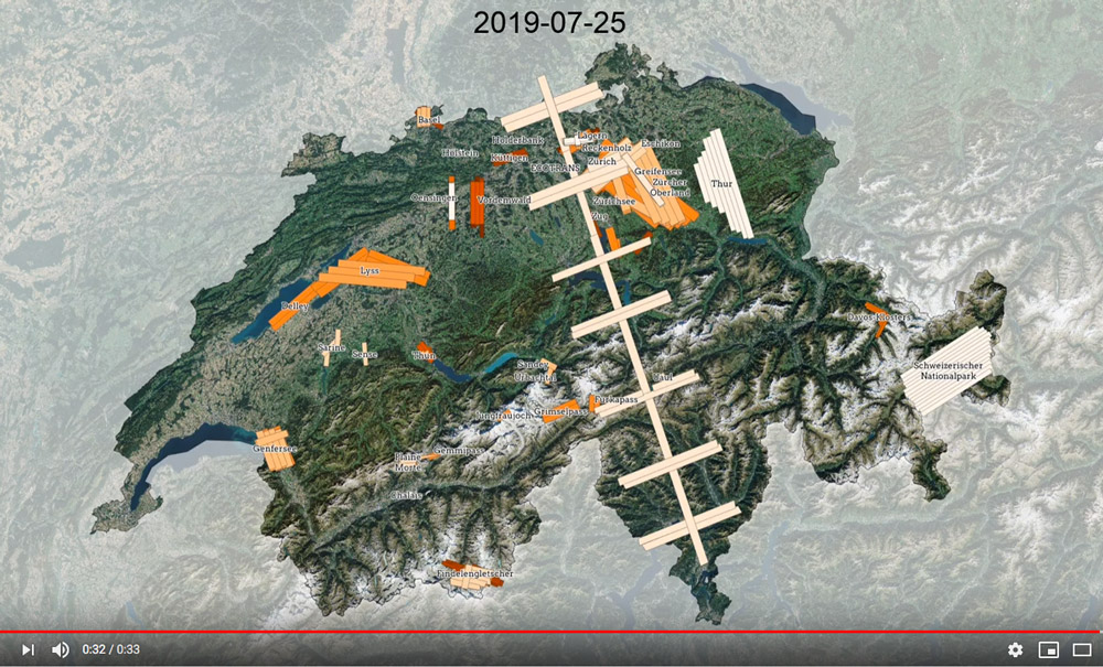
Over the past decade, we carried out a large number of flight missions over Swiss territory. This allows us to measure terrestrial processes at regional scale. An animation shows you where we flew!
Watch the animation on YouTube!
The Airborne Research Facility for the Earth System (ARES) addresses the needs of integrating physically based scaling processes within and across the spheres of the Earth System. We established a vertical infrastructure comprising large physical devices, a data processing and storage facility, and an IT platform.
The University of Zurich (UZH) has the project lead of ARES and specialises in laboratory calibration of equipment and the implementation of processing chains. ARES data is used at UZH mainly for the study of vegetation functioning and trait analysis.
Andreas Hueni