- Source: World economic & population (Nature World)
Data: Countries version 3.1.0
-

-
GEO878 - Geovisualization, Departement of Geography, University Zurich
GEO878 - Geovisualization, Departement of Geography, University Zurich
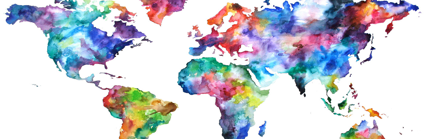
The aim of laboratory 2 was to become familiar with the creation of web maps with the use of CartoDB.
"CartoDB is a Software as a Service(SaaS) cloud computing platform that provides GIS and web mapping tools for display in a web browser. The software is an open source mapping, analysis, and visualization engine and is offered in various plans. It was initially released in 2012, and ever since it has gained popularity among diverse user groups including National Geographic, NASA, The Guardian UK and Twitter. It supports web and mobile geospatial applications." (GEO 878.2 Introduction to CartoDB)
In order to get to know the functionality of CartoDB the students had to collect data and visualize them on a map. Since we were thinking of building our project around the subject of poverty reduction we decided to illustrate the development stages of countries all over the world. The result is shown below.
Data: Countries version 3.1.0
Contact us for more information
markus.baumann@uzh.ch© 2016