Navigation auf uzh.ch
Navigation auf uzh.ch
Our research has a computational core in GIScience but at the same time is highly interdisciplinary, with collaborations with animal ecology, psychology and health sciences, transportation sciences, linguistics, and evolutionary biology. Our methods have in common that they seek structure in spatio-temporal data, ultimately aiming to generate knowledge that may lead to a better understanding of geographic patterns and processes.
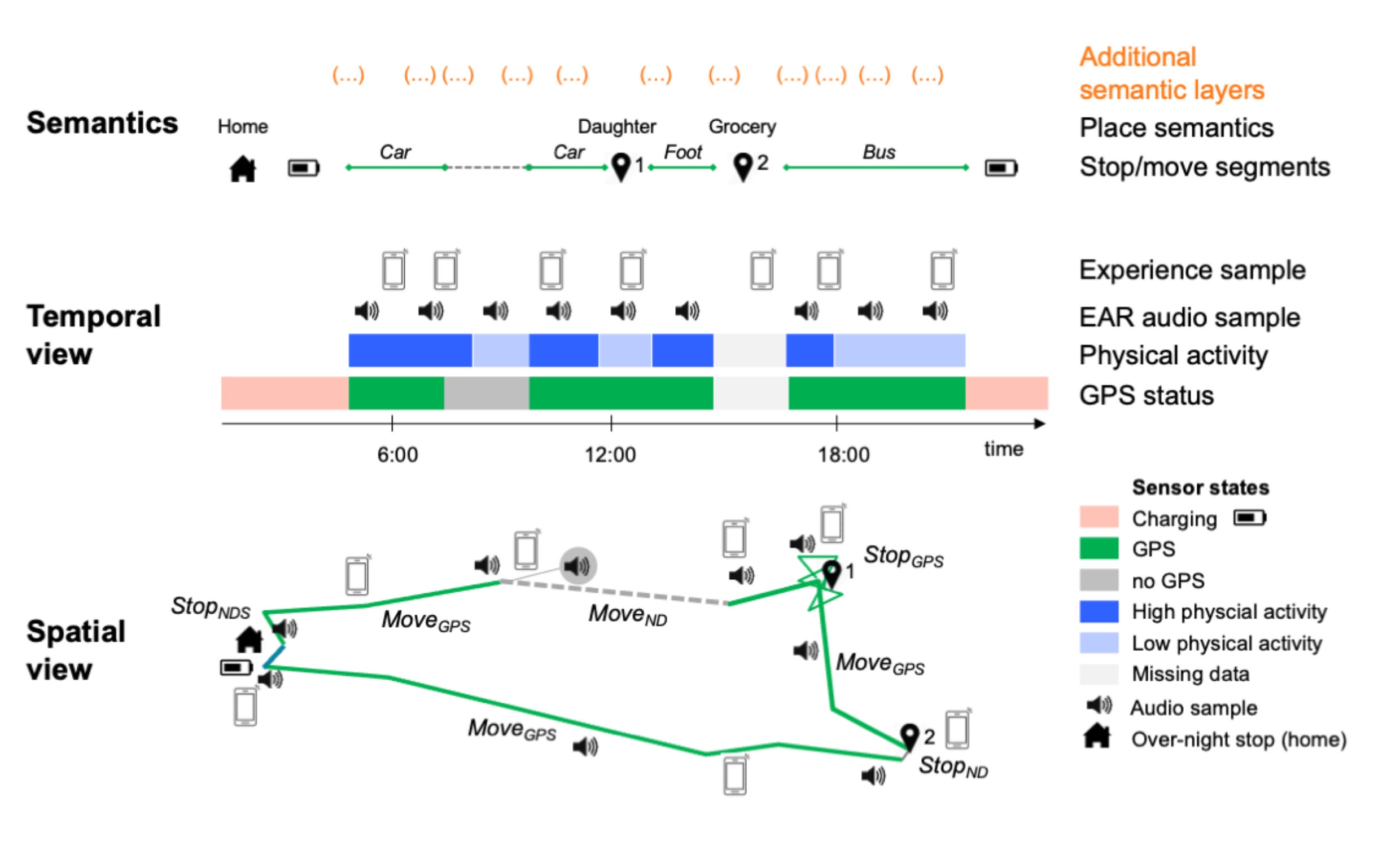
We develop computational methods for the analysis of spatial mobility and physical activity from sensor data and collaborate closely with domain specialists from application sciences, including health sciences, animal ecology, transportation.
We seek to model urban place functions with heterogeneous big geodata such as citizen science data and remotely sensed imagery by applying different ML/GeoAI methods, and how spatial organization shapes people’s daily behavior.
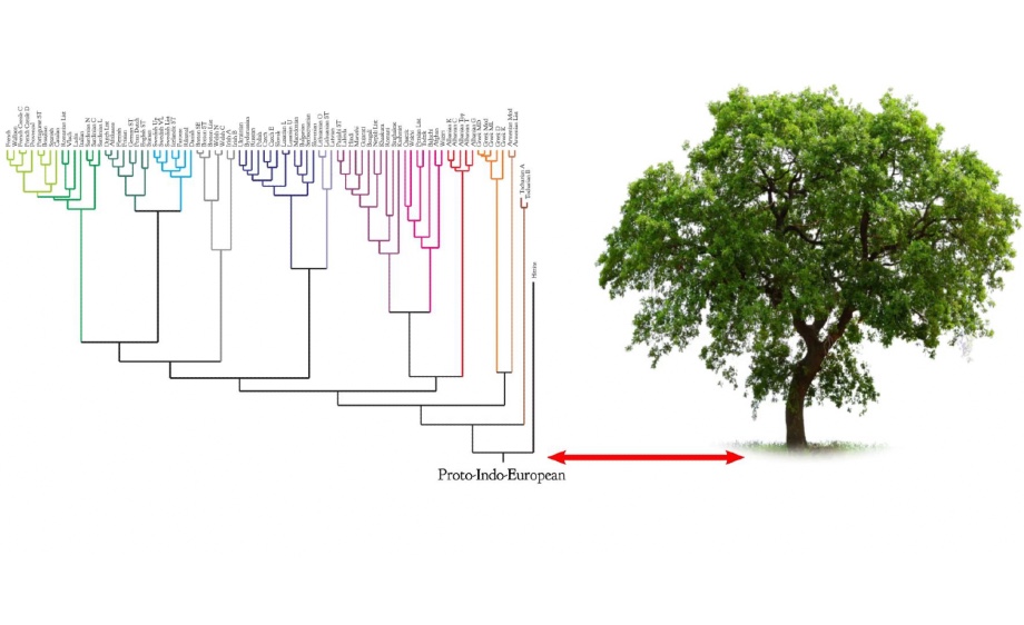
We study how culture evolves in space and time, focusing on the evolution of language. We explore how languages spread, reconstruct past human interaction and reveal the influence of geography on cultural evolution.
One of our traditional research foci, with four decades of history, has been on methods for computational cartography, and more specifically automated map generalization.
Spatial accessibility, defined as the "potential for interaction opportunities," traditionally refers to how easily destinations like services, social places, or friends from a specific location can be reached through movement in physical space.